The Trans Bhutan Trail is far more than just a hiking path; it is a restored piece of the country’s rich history and cultural fabric. For centuries, this ancient route was the sole lifeline connecting communities across the kingdom, used by monks, messengers, traders, and even royalty. After falling into disrepair with the construction of modern highways in the 1960s, the trail was meticulously restored and reopened in 2022.
The Trans Bhutan Trail spans an impressive 403 kilometers (250 miles) from west to east, stretching from the Haa Valley to the far-eastern town of Trashigang. Walking the entire trail can take over a month, but it is divided into 28 smaller sections, allowing travelers to experience specific parts as day hikes or multi-day treks.
The trail traverses diverse landscapes, from lush rhododendron forests and terraced paddy fields to high mountain passes offering panoramic views of the Himalayas. Along the way, it connects over 400 cultural and historic sites, including ancient dzongs (fortresses), sacred temples, chortens (stupa), and remote villages
The true value of the Trans Bhutan Trail lies in its deep connection to Bhutan’s culture and people. By walking the trail, you are following in the footsteps of your ancestors and becoming part of a living story. It is an opportunity for authentic immersion that goes beyond typical tourist sites.
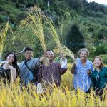
- Village Life: Many sections of the trail pass through remote villages, offering a chance to interact with local families, witness traditional farm life, and learn about the unique local dialects and customs of each region.
- Historical Landmarks: The trail connects many of Bhutan’s most important landmarks, including Dochula Pass, Punakha Dzong, and Trongsa Dzong, providing a deeper historical context to these well-known sites.
- Spiritual Significance: Used by monks and pilgrims for generations, the trail is dotted with prayer flags, monasteries, and religious sites. It is a journey that can be both physically challenging and spiritually rewarding
The Trans Bhutan Trail is not a one-size-fits-all experience. It’s an adventure designed for flexibility, allowing you to tailor your journey to your pace, interests, and comfort level. You can choose to hike the entire 403-kilometer (250-mile) trail from Haa to Trashigang over the course of a month, or you can opt to experience just a part of its historic route.
This is where the real flexibility comes in: you can easily mix and match. Instead of a non-stop trek, you can weave the trail into a broader cultural journey. You can hike a particularly scenic section for a day, and then take a vehicle to visit a major cultural site or a remote monastery. The experience is entirely yours to curate, blending the physical challenge of the trail with other aspects of Bhutanese life and sightseeing.
The accommodations along the trail are just as flexible. You can opt for the rugged simplicity of camping, the genuine connection of a traditional homestay, the comfort of a standard hotel, or the luxury of a premium property. This allows you to design a trip that fits your style, ensuring a deeply personal and authentic experience without compromising on comfort.
Overview
Total Distance: ~425 km (based on section totals)
Total Climb: ~20,800 m
Total Descent: ~20,370 m
Number of Stages: 27
Typical Duration: 4–5 weeks (depending on pace and acclimatization)
Difficulty: Moderate to Strenuous (2–4.5 on a 5-point scale, varying by section)
Trail Surface: Mix of ancient footpaths, farm roads, occasional paved sections, wooden and suspension bridges
Best Seasons:
Spring (March–May): Blooming rhododendrons and clear mountain views
Autumn (September–November): Crisp air, stable weather, post-monsoon clarity
Key Highlights Along the Route
High Passes: Jela Pass (3,473m), Pumola Pass (3,915m), Pelela Pass (3,412m), Yotongla Pass (3,319m), Wangthangla (3,775m), Thrimshingla (3,691m)
Cultural Landmarks: Paro Dzong, Buddha Dordenma, Punakha Dzong, Chendibji Chorten, Trongsa Dzong, Ura village, Dramedtse Monastery, Trashigang Dzong
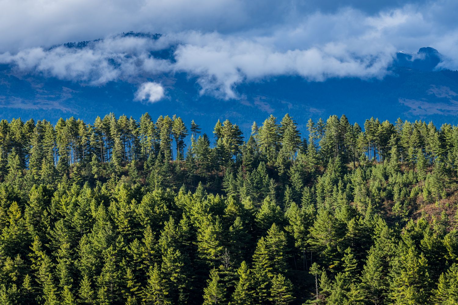
Landscape Variety: Alpine meadows, pine/oak/hemlock forests, subtropical valleys, rice terraces, high ridges with panoramic Himalayan views
Cultural Immersion: Homestays in rural villages, encounters with farmers and yak herders, local lhakhangs (temples) tucked deep in the hills
This route is more than a trek — it’s a moving connection between Bhutan’s regions, histories, and ways of life. Trekkers will cross climatic zones from alpine to subtropical, follow paths still used by locals, and gain a ground-level perspective of Bhutan few visitors experience.
The Complete Day-by-Day Hiking / Trekking Guide
Day 1: Katsho (Haa) → Ngopa (Paro)
- Distance: 14.3 km
- Time: 6 hrs 14 min
- Highest Elevation: 3,684 m
- Start / Finish: 2,772 m → 2,375 m
Highlights: Prayer-wheel-marked start, farmhouses, Chorten Kangnim, views of Bjuneydra, wooden bridges, meadows, and a descent revealing Paro Valley and Jela Dzong.
Day 2: Ngopa → Damchenang (Dopshari)
- Distance: 14.92 km
- Time: 6 hrs 30 min
- Highest Elevation: 2,830 m
- Start / Finish: 2,375 m → 2,830 m
Highlights: Historic home of Paro Penlop Khuju Tshering Penjor, rice fields, Girikha Lhakhang, pine forests, and scenic valley climbs.
Day 3: Damchenang → Tshaluna (Mewang, Thimphu)
- Distance: 12.81 km
- Time: 7 hrs
- Highest Elevation: 3,473 m
- Start / Finish: 2,830 m → 2,777 m
Highlights: Forests of pine, oak, and rhododendron; Jela Pass views; Jadhingkha village; wooden bridge into Tsaluna valley.
Day 4: Tshaluna → Buddha Dordenma (Thimphu)
- Distance: 17.53 km
- Time: 8 hrs
- Highest Elevation: 3,915 m
- Start / Finish: 2,778 m → 2,697 m
Highlights: Steep climb to Pumola Pass, ridgeline views of Thimphu Valley, Phajoding Monastery, and Jela Dzong; descent into Kuenselphodrang Park.
Day 5: Buddha Dordenma → Dochula Pass (Thimphu)
- Distance: 23.4 km
- Time: 9 hrs
- Highest Elevation: 3,110 m
- Start / Finish: 2,662 m → 3,110 m
Highlights: Debsi Trail descent, highway through Babesa & Simtokha, river crossings, Yusipang apple orchards, steep final climb to Dochula’s 108 chortens.
Day 6: Dochula → Punakha Dzong (Punakha)
- Distance: 23.66 km
- Time: 9 hrs
- Highest Elevation: 3,110 m
- Start / Finish: 3,110 m → 1,200 m
Highlights: Botanical Park, My Gadick village, suspension bridges, rice paddies, Thinleygang Lhakhang, and entry into Punakha through chir pine forest.
Day 7: Punakha Dzong → Mendagang → Lingmukha (Punakha)
- Distance: 11.28 km
- Time: 6 hrs
- Highest Elevation: 2,147 m
- Start / Finish: 1,200 m → 2,147 m
Highlights: Mo Chhu cantilever bridge, Punakha’s suspension bridge, forest climb to Lingmukha with views of Punakha and Mendagang.
Day 8: Lingmukha → Samtengang (via Phangyul) (Wangdue)
- Distance: 13.85 km
- Time: 8 hrs
- Highest Elevation: 2,462 m
- Start / Finish: 2,147 m → 1,950 m
Highlights: Oak and rhododendron forests, sharp descent to Rakey Zampa, climb past Lhakhang Thangka and community school to Samtengang Lake.
Day 9: Samtengang → Radzawog (Wangdue)
- Distance: 18.21 km
- Time: 7 hrs 30 min
- Highest Elevation: 2,796 m
- Start / Finish: 1,950 m → 1,961 m
Highlights: Meadows of Tsazakha, oak and rhododendron forests, gentle descent to Razawo village by Dangchu River.
Day 10: Radzawog → Pelela Pass (Wangdue/Trongsa)
- Distance: 12.28 km
- Time: 6 hrs 30 min
- Highest Elevation: 3,412 m
- Start / Finish: 1,961 m → 3,412 m
Highlights: Walnut and oak forests, ascent via Rida valley, vertical climb through oak and rhododendron to Pelela Pass.
Day 11: Pelela → Chendibji (Trongsa)
- Distance: 20.28 km
- Time: 7 hrs
- Highest Elevation: 3,364 m
- Start / Finish: 3,412 m → 2,426 m
Highlights: Highland shrubs and rhododendron, descent to Rukubji, river crossings, arrival at Chendibji Chorten.
Day 12: Chendibji → Tshangkha (Trongsa)
- Distance: 19.73 km
- Time: 7 hrs
- Highest Elevation: 2,426 m
- Start / Finish: 2,426 m → 2,278 m
Highlights: Bamboo and rhododendron forests, Nikachu dam site, long highway stretch into Tshangkha village.
Day 13: Tshangkha → Trongsa (Kewathang)
- Distance: 13.01 km
- Time: 7 hrs 30 min
- Highest Elevation: 2,435 m
- Start / Finish: 2,278 m → 2,374 m
Highlights: Oak and rhododendron forests, Mangdechhu cantilever bridge, Trongsa Dzong, climb to Kewathang.
Day 14: Kewathang → Geytsa (Bumthang)
- Distance: 19.38 km
- Time: 8 hrs 30 min
- Highest Elevation: 3,319 m
- Start / Finish: 2,374 m → 2,889 m
Highlights: Staircase climb from Kewathang, bamboo and oak forests, Yotongla Pass, descent to Gyaltsa.
Day 15: Geytsa → Chamkhar (Bumthang)
- Distance: 16.08 km
- Time: 6 hrs 30 min
- Highest Elevation: 3,421 m
- Start / Finish: 2,889 m → 2,580 m
Highlights: Meadows, Mebartsho (Burning Lake), Jakar Dzong views, descent to Chamkhar town.
Day 16: Chamkhar → Phomdrong (Bumthang)
- Distance: 14.39 km
- Time: 6 hrs
- Highest Elevation: 3,047 m
- Start / Finish: 2,580 m → 2,702 m
Highlights: Gomkhar Lhakhang, Aman “bush man” trail, descent to Phom Drong valley.
Day 17: Phomdrong → Ura (Bumthang)
- Distance: 16.5 km
- Time: 7 hrs
- Highest Elevation: 3,492 m
- Start / Finish: 2,702 m → 3,150 m
Highlights: Meadows above Tangsibi, Chimin Chorten, Shertangla Pass, descent to Ura Valley.
Day 18: Ura → Gezamchu (Bumthang/Mongar)
- Distance: 10.87 km
- Time: 5 hrs 30 min
- Highest Elevation: 3,775 m
- Start / Finish: 3,150 m → 3,447 m
Highlights: Nirgang Chu River, near-vertical climb to Wangthangla Pass, descent to Gezamchu.
Day 19: Gezamchu → Sengor (Mongar)
- Distance: 12.7 km
- Time: 5 hrs 30 min
- Highest Elevation: 3,691 m
- Start / Finish: 3,447 m → 2,982 m
Highlights: Thrimshingla Pass, meadows, descent to Sengor valley.
Day 20: Sengor → Latongla (Mongar)
- Distance: 9.9 km
- Time: 5 hrs 30 min
- Highest Elevation: 2,982 m
- Start / Finish: 2,982 m → 2,650 m
Highlights: River crossings, rhododendron and hemlock forests, climb to Latongla base.
Day 21: Latongla → Lingmethang (Mongar)
- Distance: 14.7 km
- Time: 7 hrs
- Highest Elevation: 2,650 m
- Start / Finish: 2,650 m → 739 m
Highlights: Meadows, subtropical forest, Mori Chu suspension bridge, Zhongar Dzong ruins, descent to Lingmethang.
Day 22: Lingmethang → Mongar
- Distance: 15.8 km
- Time: 7 hrs 30 min
- Highest Elevation: 1,600 m
- Start / Finish: 739 m → 1,600 m
Highlights: Hazelnut plantations, Kurizampa bridge, climbs past Ngagdra Dorji Choegar Lhakhang, entry to Mongar.
Day 23: Mongar → Korila (Mongar)
- Distance: 11.01 km
- Time: 4 hrs 30 min
- Highest Elevation: 2,324 m
- Start / Finish: 1,600 m → 2,324 m
Highlights: Highway and farm road ascent through Themnangbi village to Korila Pass.
Day 24: Korila → Sherizampa (Mongar)
- Distance: 13.09 km
- Time: 5 hrs 30 min
- Highest Elevation: 2,324 m
- Start / Finish: 2,324 m → 882 m
Highlights: Ngatshang village, rice terraces, ancient stupas, descent to Sherizam.
Day 25: Sherizampa → Dramedtse (Mongar)
- Distance: 11.77 km
- Time: 7 hrs
- Highest Elevation: 2,041 m
- Start / Finish: 882 m → 2,112 m
Highlights: Bagingla ascent, cow herder camps, valley views, entry to Dramedtse monastery village.
Day 26: Dramedtse → Narang (Mongar)
- Distance: 14.54 km
- Time: 8 hrs
- Highest Elevation: 2,112 m
- Start / Finish: 2,112 m → 1,781 m
Highlights: Descent to Helong Chu, steep climb to Narang top, village routes through Gomchu and Durung, final climb to Gongthung.
Day 27: Narang → Gongthung (Tashigang)
- Distance: ~7 km (based on PDF’s partial note)
- Time: 4 hrs 30 min
- Highest Elevation: 1,734 m
- Start / Finish: 1,781 m → 1,049 m
Highlights: Steep descent to Dangmechhu River, Chazam bridge, climb to Trashigang Dzong.
The Trans Bhutan Trail in Bhutan: Frequently Asked Questions (FAQs)
What is the Trans Bhutan Trail? The Trans Bhutan Trail is a 403km (250 miles) ancient pilgrimage and communication route connecting Haa in the far west of Bhutan with Trashigang in the east. It dates back to the 16th century and was recently restored to make it accessible to locals, pilgrims, and travelers.
How long is the Trans Bhutan Trail? The trail is 403 kilometers (250 miles) long and crosses nine districts. It will take 26 nights and 27 days to hike the complete trail. You will need to add a few days to account for arrival and rest days.
Do I have to walk the entire trail? No, you don’t. The trail is broken down into smaller, manageable sections with frequent access points. You can walk a shorter series of sections over multiple days, or enjoy day or half-day hikes as part of a cultural tour.
How difficult is trekking the Trans Bhutan Trail? The difficulty can be adjusted based on your preference. The trail has sections with varying levels of difficulty, some of which are largely downhill and accessible to most visitors. The highest point of the trail is between 3,900 and 4,000 meters (12,795 and 13,123 feet) above sea level, but many sections are at lower altitudes.
What kind of accommodation is available along the trail? Accommodation options range from homestays and guesthouses to campsites and luxury hotels. Treks for international guests include a minimum of 3-star hotel accommodation where available, with options to upgrade. The Trans Bhutan Trail also offers signature campsites with locally-sourced food, hot showers, and traditional Bhutanese hot stone baths.
What documents are needed for a visa? All international travelers need a valid passport (with at least 6 months of validity from the day of exit from Bhutan). Tourist visas will be issued electronically by Breathe Bhutan, once they receive all the necessary payment and documents; passport copy and passport size photo (headshot) with a white background. The headshot can be taken on your phone with a white wall for background.
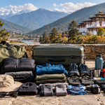
What should I pack? Your specific packing needs will depend on your itinerary. However, a windcheater, warm clothing, and layers like long-sleeved shirts and pants are recommended, especially at higher altitudes. For treks, equipment like tents and sleeping bags are provided, but you should bring your own trekking gear, including appropriate clothing, shoes, a day pack, and water bottles.
Is travel insurance required? While basic general healthcare is free for everyone in Bhutan, it is advisable to have comprehensive medical and travel insurance, including emergency medical evacuation insurance.
What kind of food can I expect? Visitors often find the food to be a distinctive and memorable part of their journey, offering a truly authentic taste of the country. A key highlight for many is the sheer variety available, which is particularly appreciated by visitors from Asia and those who enjoy Asian food. Guests will find many options to choose from, with both vegetarian and non-vegetarian dishes readily available, and guides and chefs are well-equipped to cater to special dietary needs.
Can I use credit cards and what currency should I carry? Bhutan’s currency is the Ngultrum (Nu.), which is pegged to the Indian Rupee (INR). You can exchange major currencies at banks. Most hotels and handicraft stores accept international credit cards, and you can withdraw local currency from major bank ATMs. However, it is advisable to carry some cash as ATMs can be unreliable with international cards.